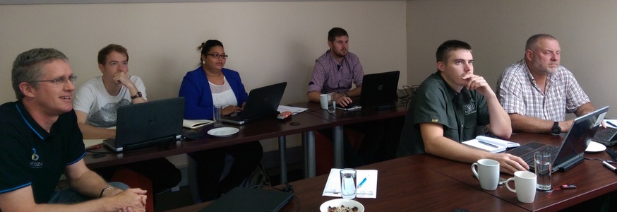
In this advanced course we will take you on a tour through some popular parts of the FOSS GIS toolset, focussing on desktop GIS. Our aim is to make you comfortable with FOSS GIS tools for doing spatial analysis and running production workflows. Tools we will use include QGIS, PostGIS, GRASS, Python, GDAL/OGR, various QGIS plugins and more.
QGIS
Assuming you know the basics of QGIS, or at least are an experienced GIS user, we will explore more advanced functionality. QGIS tools:
The Processing Panel
    QGIS Processing
    GRASS
    SAGA
    OTB
    GeoServer
Python console / command line
Intro to Python plugin development
Concepts:
image processing
advanced editing
advanced spatial analysis
production workflows
and more – we will try to adapt to your requirements!
PostGIS
PostGIS is the spatial database you need to know about. We will do a brief overview, assuming a working knowledge of SQL and spatial database concepts. The focus will be on using PostGIS for:
advanced spatial analysis
advanced data management
performance tuning and configuration for production
Command Line Power
Power GIS users come down to the CLI to do the cool stuff… Whether you need to do a single task, set up a batch process or write a more complex script, the CLI is your friend, where you can get more done faster, without laboriously clicking buttons.
bash
SQL
Python
QGIS Python API
GDAL/OGR and utilities
The use of personal devices are required for this course.
Trainer(s)
One or more of Kartoza's GIS experts
CPD
potentially 2 points (category 1b)
Price
This price includes VAT, software, course material and data and a certificate of attendance.
Duration
Five days
T&Cs apply
This product is currently unavailable.
 Kartoza
