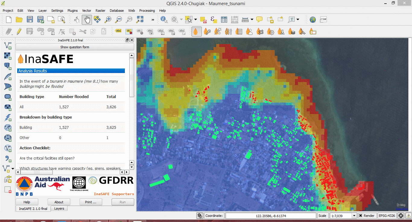

We built the preliminary version of the InaSAFE QGIS plugin, created much of the current project
infrastructure such as the web site, documentation system etc.
(a) Version 0.2 of Risk-in-a-Box
(b) Version 0.2.1 (bug fixes and developer’s documentation)
(c) Version 0.3 of Risk-in-a-Box
(d) Version 0.3.1 (bug fixes and user’s documentation)
(e) Version 0.4 of Risk-in-a-Box
(f) Cross platform installation procedure (Ubuntu, Windows, OSX) in developer and user mode for
versions 0.3
(g) Version 1.0 of InaSAFE (for launch at AMCDRR): 15 October 2012
(h) Version 1.1 February 2013
(i) Version 1.2 October 2013(functionality identified by training in Dec 2012)
(i) Aggregation support for vector data sources,
(ii) A batch running facility,
(iii) Internationalisation support for all documentation and application text.
(j) Version 2.0: November 2013
(i) Enable InaSAFE to work with QGIS 2.0
(ii) Native QGIS data access within impact functions. Produce initial impact functions based on
roads (line)
(iii) Utilising the new functionality in QGIS 2.0, custom templates will be implemented
(iv) Remove legacy support for QGIS 1.x releases to make the migration to QGIS 2.0 complete.
(k) Version 2.1 February 2013
(i) InaSAFE impact functions will support polygon exposure i.e. landuse
(ii) Wizard tools developed for both data driven and impact function InaSAFE analysis
(iii) InaSAFE impact functions will support people inside building exposure
(iv) Landslide impact function
(v) Each impact function will be accompanied with a short instructional video embedded on the
web site.
(vi) Enhancements to dataset handling will be added including for working with remote datasets.
(vii) Maintenance release with bug fixes, improvements to error handling and usability based on
feedback.
 Kartoza