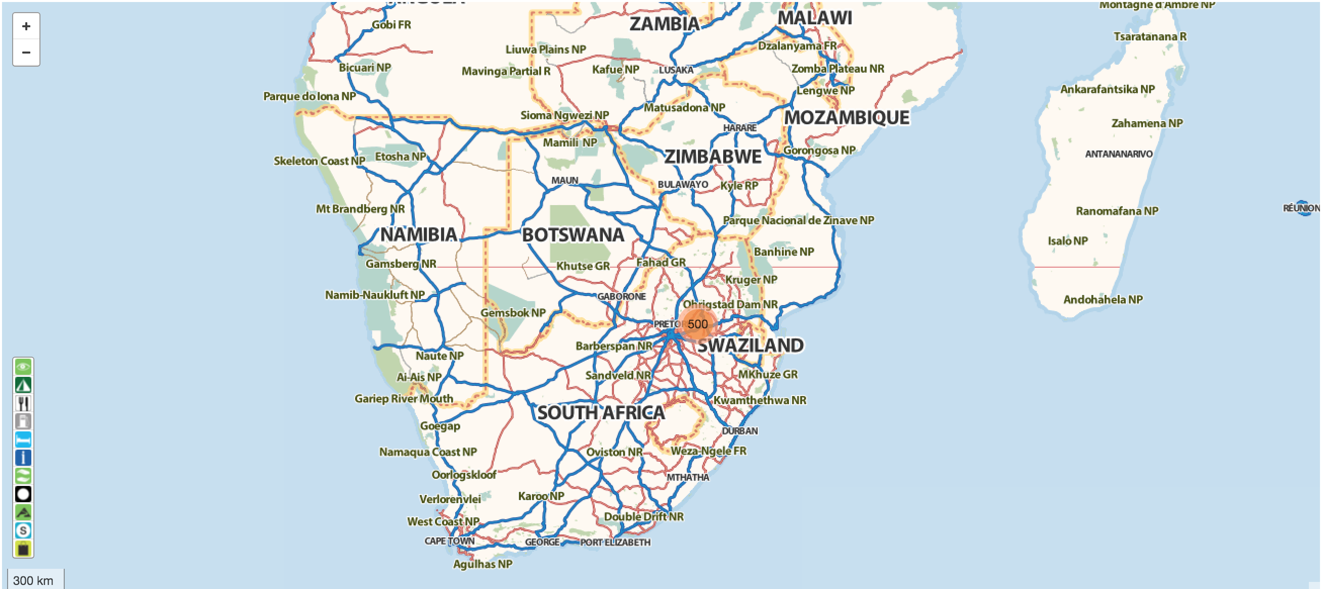
AfriSpatial, along with Linfiniti and Webtide, built the website for Tracks4Africa, incorporating their previous Tracks4Africa and Padkos sites. A major new feature is online web maps that showcase the rich Tracks4Africa data set normally seen on a GPS or Google Earth. The community-contributed, routable tracks and points of interest from across Africa are fully integrated into the site. We are working with Tracks4Africa staff and systems to further integrate their workflow with the database and website. The Tracks4Africa system is FOSS (Free and Open Source Software) from the ground up, including Ubuntu, PostGIS, Mapnik, MapServer, GeoDjango, OpenLayers, JQuery.
 Kartoza