
Enterprise GIS for National Land Audit
A Professional Land Surveyor was required to assess the status of each land parcel and sign off on reports but the firm soon realised that this was very much a GIS project.
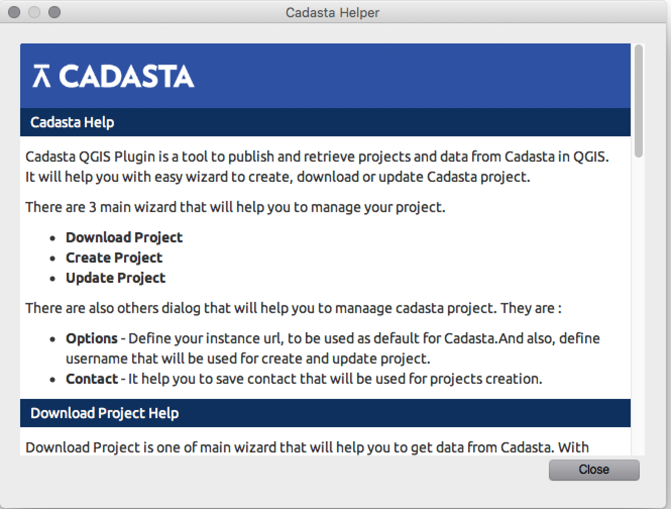
Cadasta QGIS plugin
The objective was to develop a QGIS Python plugin to enable Cadasta clients to interact with the Cadasta service at https://cadasta.org/ via its API.
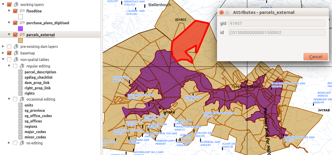
Enterprise GIS for National Land Audit
Kirchhoff Surveyors was a traditional Land Survey firm that used CAD-based software for survey jobs. They had won a contract with the National Department of Water and Sanitation (DWS) to undertake an audit of all DWS land assets, such as land under reservoirs, canals, pipelines and water transfer schemes.
STDM code sprint and technical training
The STDM project steering committee needed assistance to bring ithe plugin to a point where it could be released on a public repository, to make progress with new features and bug fixes and also to train potential new developers.
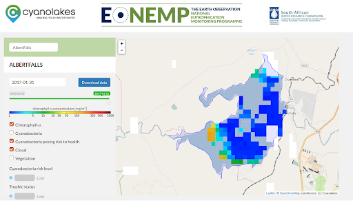
Earth Observation National Eutrophication Monitoring Programme
Earth Observation National Eutrophication Monitoring Programme
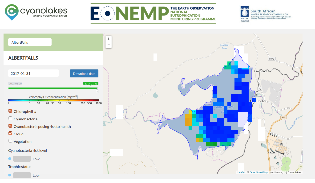
Earth Observation National Eutrophication Monitoring Programme
Dr Matthews had developed algorithms for detecting cyanobacteria, chlorophyll-a and vegetation in the coastal waters off South Africa for his PhD. He contracted Kartoza, with funding from the Water Research Commission, to automated his image processing workflow and build a web interface to the data, for all dams in South Africa for the benefit of the public and also to satisfy reporting requirements of the National Department of Water and Sanitation.
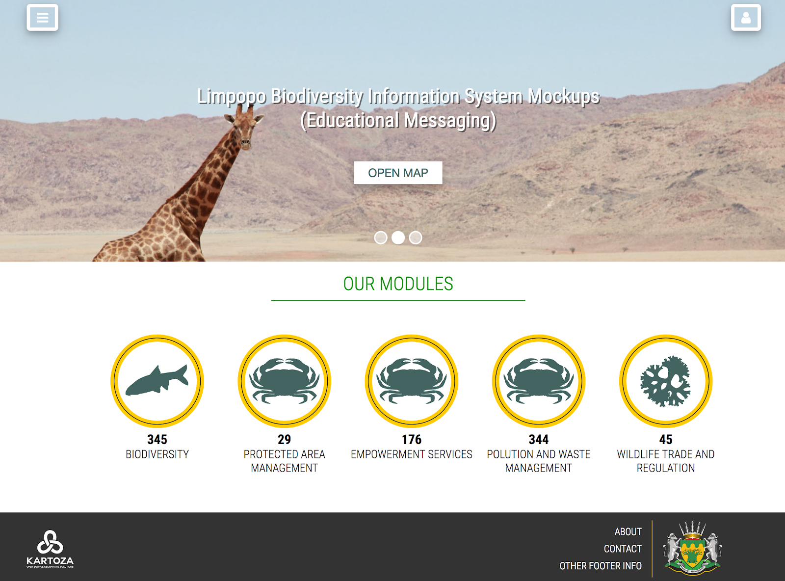
Limpopo BIMS
The Limpopo Biodiversity Information Management System (BIMS) is a platform for hosting, visualising and sharing biodiversity information in Limpopo.
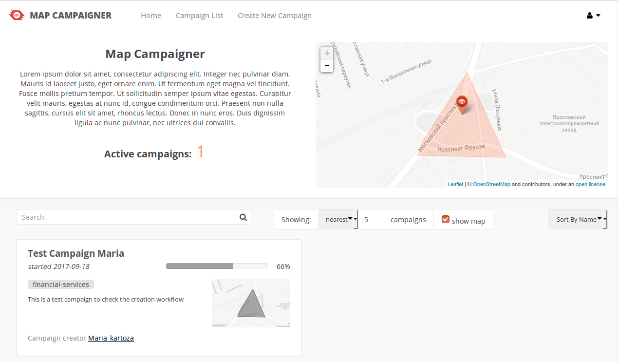
Map Campaigner
A web application for the planning and monitoring of OpenStreetMap field mapping campaigns
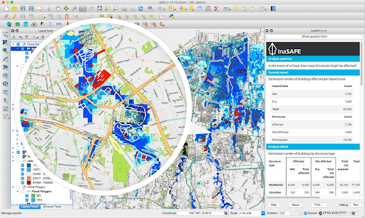
GeoNode with QGIS server backend and the GeoSAFE web interface to InaSAFE
InaSAFE, GeoNode and GeoSAFE: Training, development of community of practice, development and deployment of production GeoSAFE instance at INGC, Mozambique
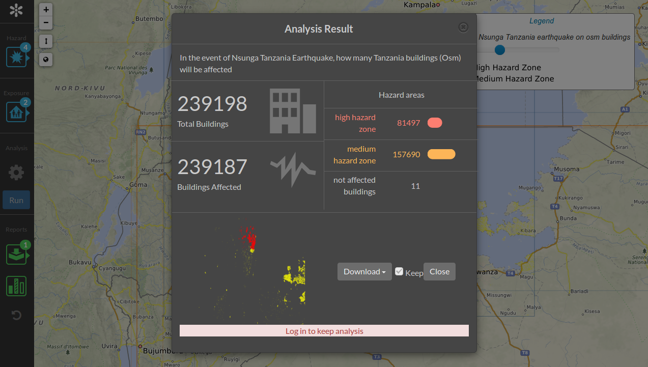
InaSAFE 71833
DMInnovation provide (amongst other things) in-country support to Indonesia in the area of Disaster Planning and risk management. They contracted Kartoza to co-develop the InaSAFE tool, which is a plugin for QGIS. T
 Kartoza